|

|
|
|
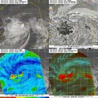
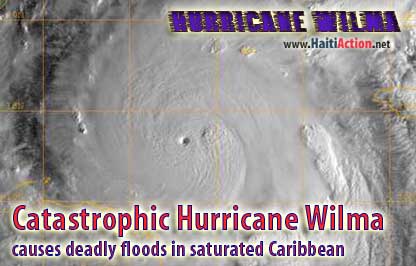
| Image provided by NOAA |
|
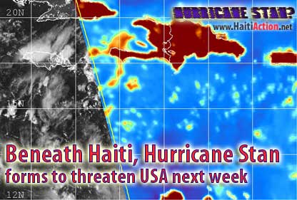
| Image provided by CIMSS |
2017 Storm Names:
View the latest observations near Storm
Share this story with your networks
BOOKMARK the Haiti Action.net Tropical Cyclone Page for latest updates during this hurricane season. HaitiAction.net will host this page with many Tropical Cyclone resources so you can find the latest information when you are searching for current updates.
Contact us: info@haitiaction.org
Contact us: info@haitiaction.org
BOOKMARK the Haiti Action.net Tropical Cyclone Page for latest updates during this hurricane season.
Bookmark this page for the 2017 Hurricane Season
|